
Seamless scanning and precise results
Unlock Efficiency with FreeScan

Step-by-step Guidance

Real-time Mesh

Data Quality Visualization
Patented Binocular Photogrammetry

Streamlined Workflow

Variable Point Distances


Patented Binocular Photogrammetry
Patented binocular photogrammetry can achieve a remarkable volumetric accuracy of up to 0.02 + 0.015mm/m. Place markers and just one magnetic scale bar and the FreeScan Trio will quickly optimize the global markers.
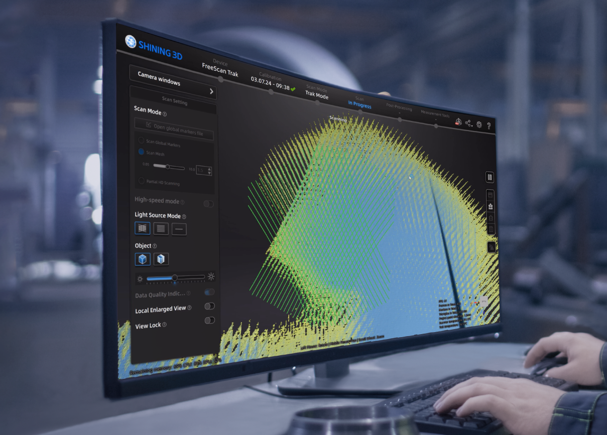
Data Quality Indicator
The data quality indicator provides a better visual representation of scanned data integrity, helping you capture perfect data for multiple purposes.
Yellow section: Insufficient data, need more scan.
Blue section: sufficient data.
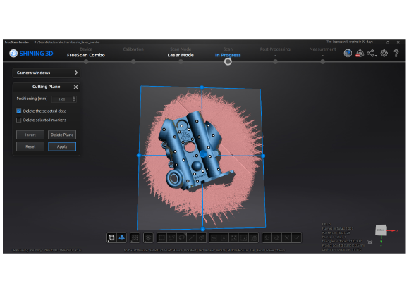
Cutting Plane
This function allows users to save cutting plans in scan marker mode or in scan data. These cutting planes can be saved in the marker file, along with the marker data. This is useful when inspecting similar objects several times and needing to exclude data from specific regions.
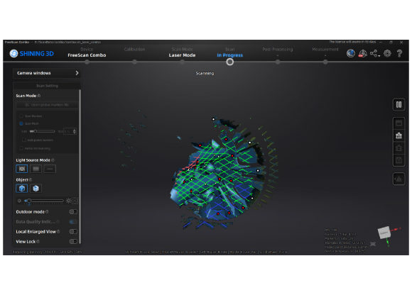
Laser Line Color Indicator
Due to this improvement, the color of the laser line corresponds to the proximity of the scanned object: red represents too close, green represents the optimal distance, and blue represents too far. This visual representation helps you intuitively control the appropriate working distance during the scanning process.


